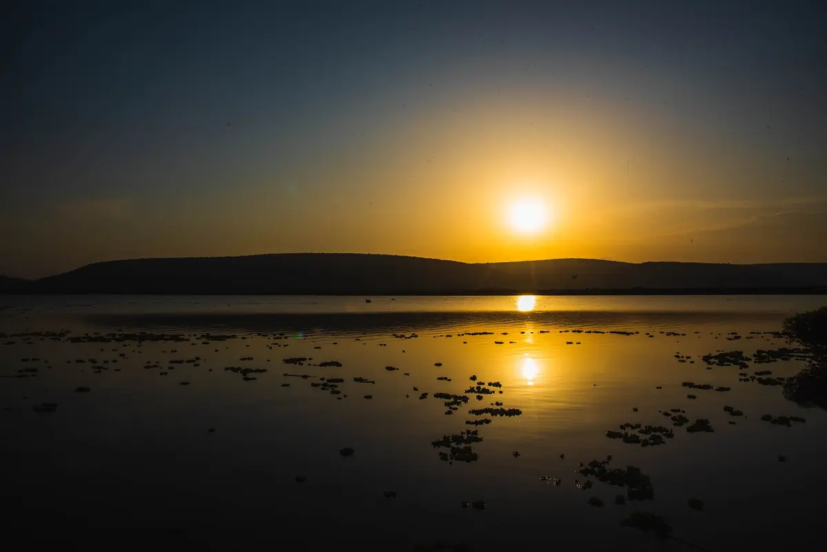
The history of Lake Mburo at a glance
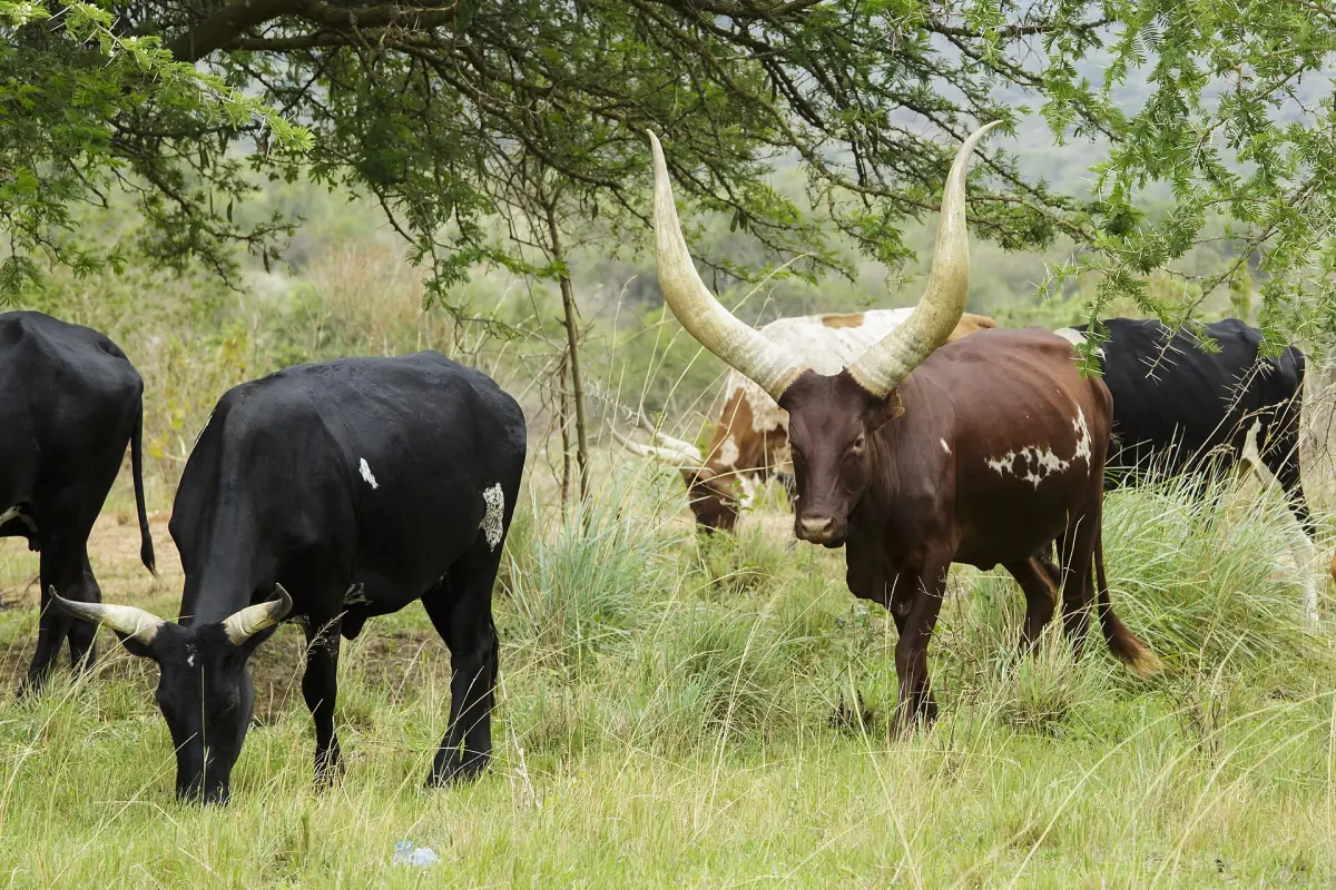
The land around Lake Mburo was grazing country for Bahima cattle herders long before it was a protected area. Cattle keeping shaped the region, as the page on Ankole cattle explains. The land then moved step by step into conservation, first as a controlled hunting area and later as a national park.
The change was not smooth. People were moved out when the park was created, families and settlers came back, and the park was cut in size within a few years. This page sets out the main dates and what they meant. If you are planning a visit, the Lake Mburo safari page covers the practical side.
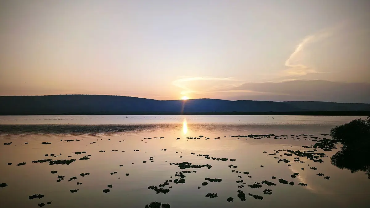
Timeline: from hunting area to national park
The key dates, in order.
1933: controlled hunting area
The area was set aside as a controlled hunting area. This is not the same as a game reserve, which came later and is a separate status.
1983: national park
Lake Mburo was established as a national park. Residents were removed from the land, and no compensation was paid.
1984: open to visitors
The park opened to the public the year after it was created.
1986: return and wildlife losses
Evicted families and other settlers came back to the land, and wildlife numbers fell sharply by 1986.
1986 or 1987: a smaller park
The park was reduced in size, from 650 to 370 km², and land went back to local people. The change dates from 1986 or 1987.
Lake Mburo safaris and trips from Kampala
Game drives, boat cruises and combined trips through the park, with live prices and availability.
Evictions, returns and wildlife losses
When the national park was created in 1983, people living on the land were moved out by force and without compensation. The park opened to visitors in 1984. By 1986, evicted families and other settlers had returned to parts of the land, and wildlife had suffered heavy losses.
This is a sensitive history. Wildlife numbers fell sharply in these years.
Why the borders changed
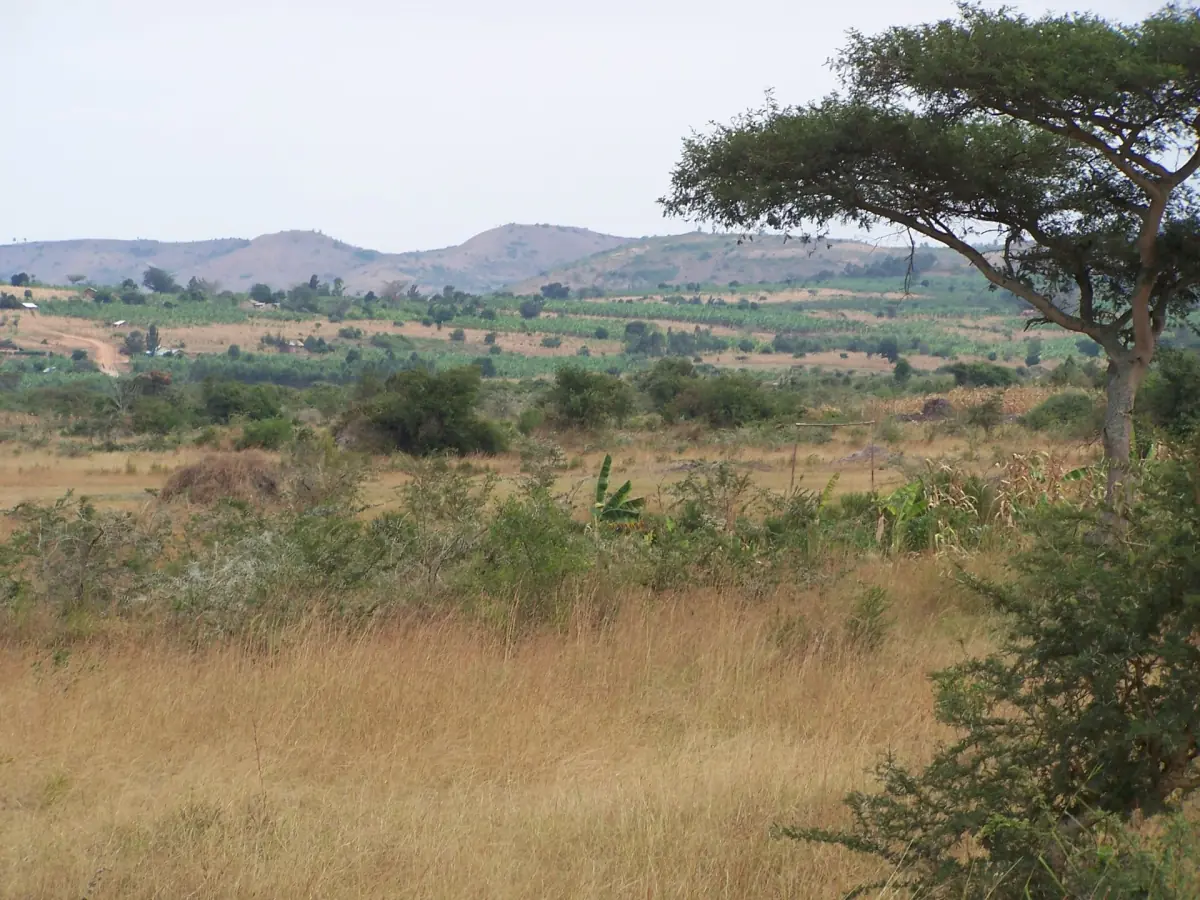
In the mid 1980s the park lost land. This happened in 1986 or 1987, with a fall from 650 to 370 square kilometres. Today the park covers 370 square kilometres.
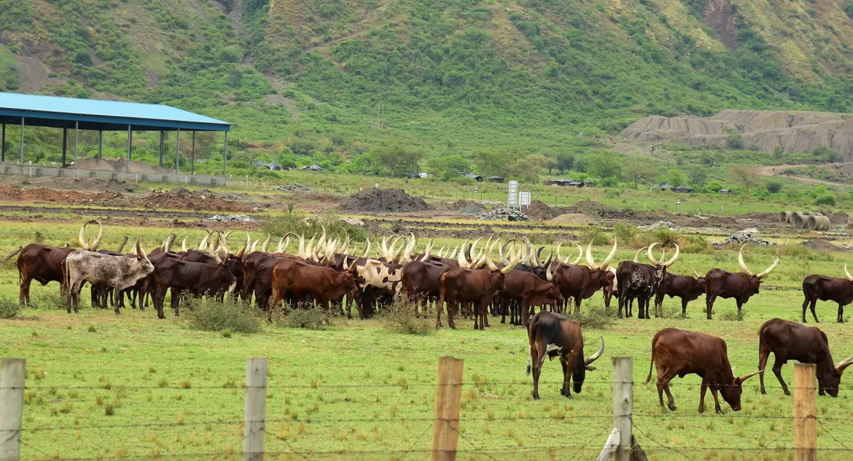
The land that was given back went to local people. Cattle keeping continues around the park, and grazing inside the park is forbidden. You see herds right next to the border today.
The park today
What the history left behind.
Size and setting
The park covers 370 square kilometres at 1,220 to 1,828 metres, with five lakes inside the boundary. It is the smallest savanna national park in Uganda.
Wildlife
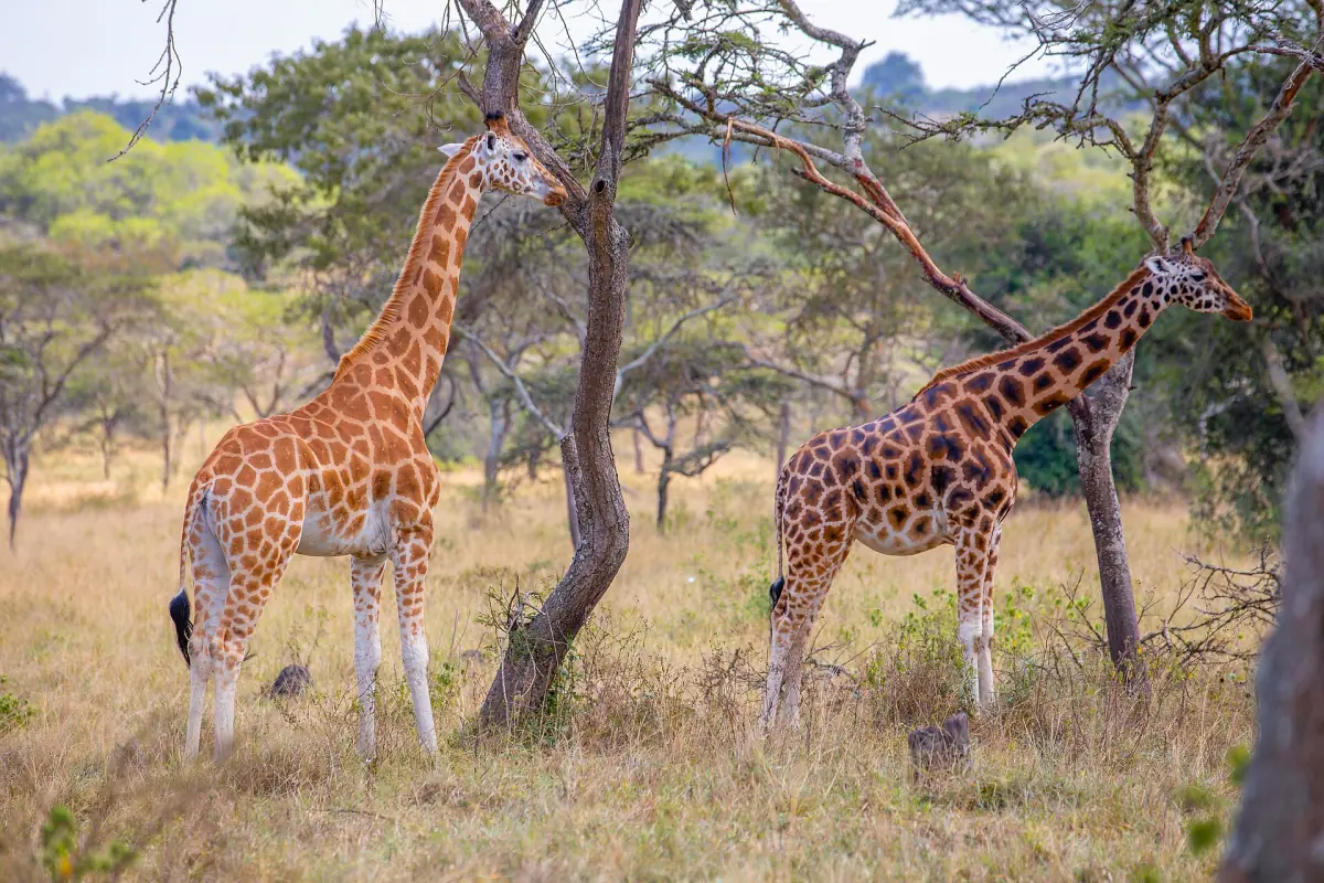
Zebras, impalas, eland and birds are the draw. Giraffes were brought in from Murchison Falls in 2015. See the wildlife page.
Local benefit
The park shares part of its revenue with local projects. Ask locally which projects benefit if the point matters to you.
Visiting with the past in mind
Treat the land around the park as home to people with their own history. Ask before you photograph a person, and respect the park rules: stay on the tracks, keep to 40 km/h and do not disturb animals.
More about Lake Mburo
Pages that go with the history.
Lake Mburo history: frequently asked questions
When did Lake Mburo become a national park?
In 1983. In 1933 the area had been set aside as a controlled hunting area, and the park opened to visitors in 1984.
Were people moved out when the park was created?
Yes. Residents were removed from the land when the park was created in 1983, without compensation. Families and other settlers returned by 1986.
Why is the park smaller than at first?
It was reduced in the mid 1980s and land returned to local people. The change dates from 1986 or 1987, and the park fell from 650 to 370 square kilometres.
How big is Lake Mburo National Park?
The park covers 370 square kilometres, between 1,220 and 1,828 metres above sea level.
Who lived on the land before the park?
Bahima cattle herders grazed the land around Lake Mburo long before it became a protected area.